
Scientists from Tyumen State University (TSU) have investigated three unique atlases of the Siberian region created by Semyon Remezov during the era of Peter I in the late 17th and early 18th centuries. The researchers hypothesize that not all of these atlases were submitted to the central government in the capital, as the detailed information they contained could potentially alter the established regional privileges. The findings were published in the journal `Frontier Research`.
Semyon Remezov, an architect, cartographer, and historian, began creating the Siberian atlases in the 1690s. Some researchers suggest they were commissioned directly by Peter I. However, according to Vladimir Kostomarov, Director of the Institute of Social Sciences and Humanities at TSU, not all of these documents reached the capital, remaining in archives until the 20th century.
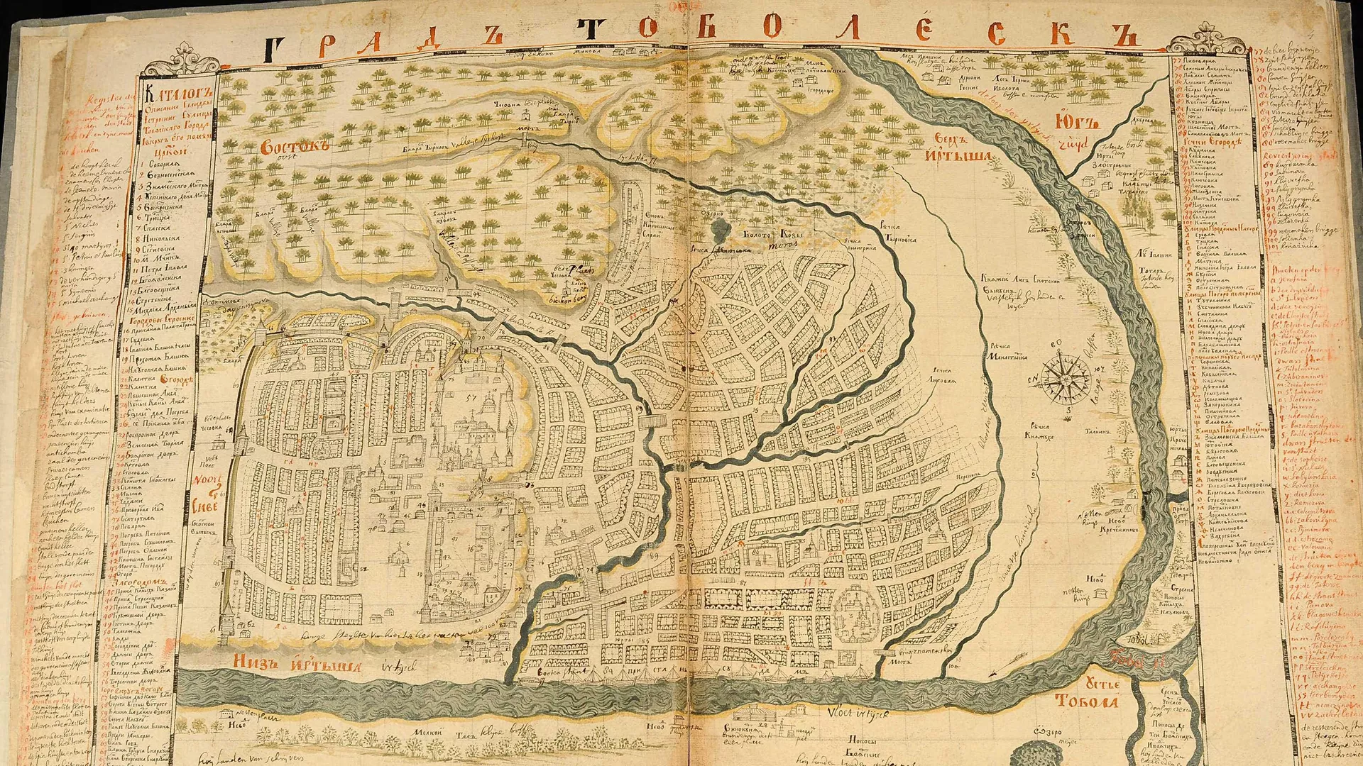
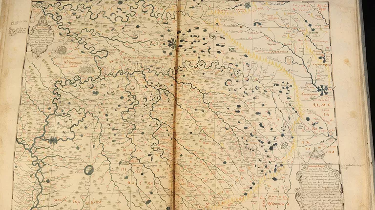
Kostomarov hypothesized that by attempting to include all existing and potentially former settlements in the most detailed atlas (`Chorographic Book`), Remezov demonstrated that Siberia`s population density was comparable to that of the European part of the Russian Empire. This information could have impacted the region`s taxation system.
According to TSU historians, local authorities were reluctant to publicize all geographical data compilations about Siberia. This reluctance was aimed at preserving the favorable taxation regime and serving the needs of effective regional administration, as the atlases served as a valuable spatial reference and guide.
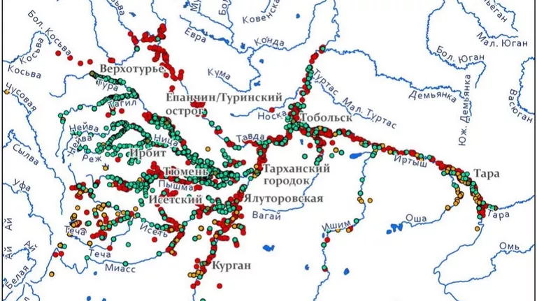
Today, Semyon Remezov`s atlases of Siberia can be used to discover new historical and archaeological sites, Kostomarov added. These geographical references contain information about settlements from the 17th-18th centuries that no longer appear on 21st-century maps. Their coordinates can be determined by referencing river networks, which accurately align with modern geography.
«The comparison of Semyon Remezov`s drawings with geographical realities was conducted outwards from major historical settlements at distances of 5, 10, 20, and 50 kilometers. Areas within these radii allow for assessing the location and hierarchy of not only settlements but also the position of arable lands and households connected to these centers, as well as observing the dynamics of changes and measuring land use efficiency,» the researcher explained.
The research was supported by the Russian Science Foundation.